NOI of a Draft IS-MND for the Inland Feeder-Foothill Pump Station Intertie Project
May 17, 2024
Find a Document

CRA Surveying
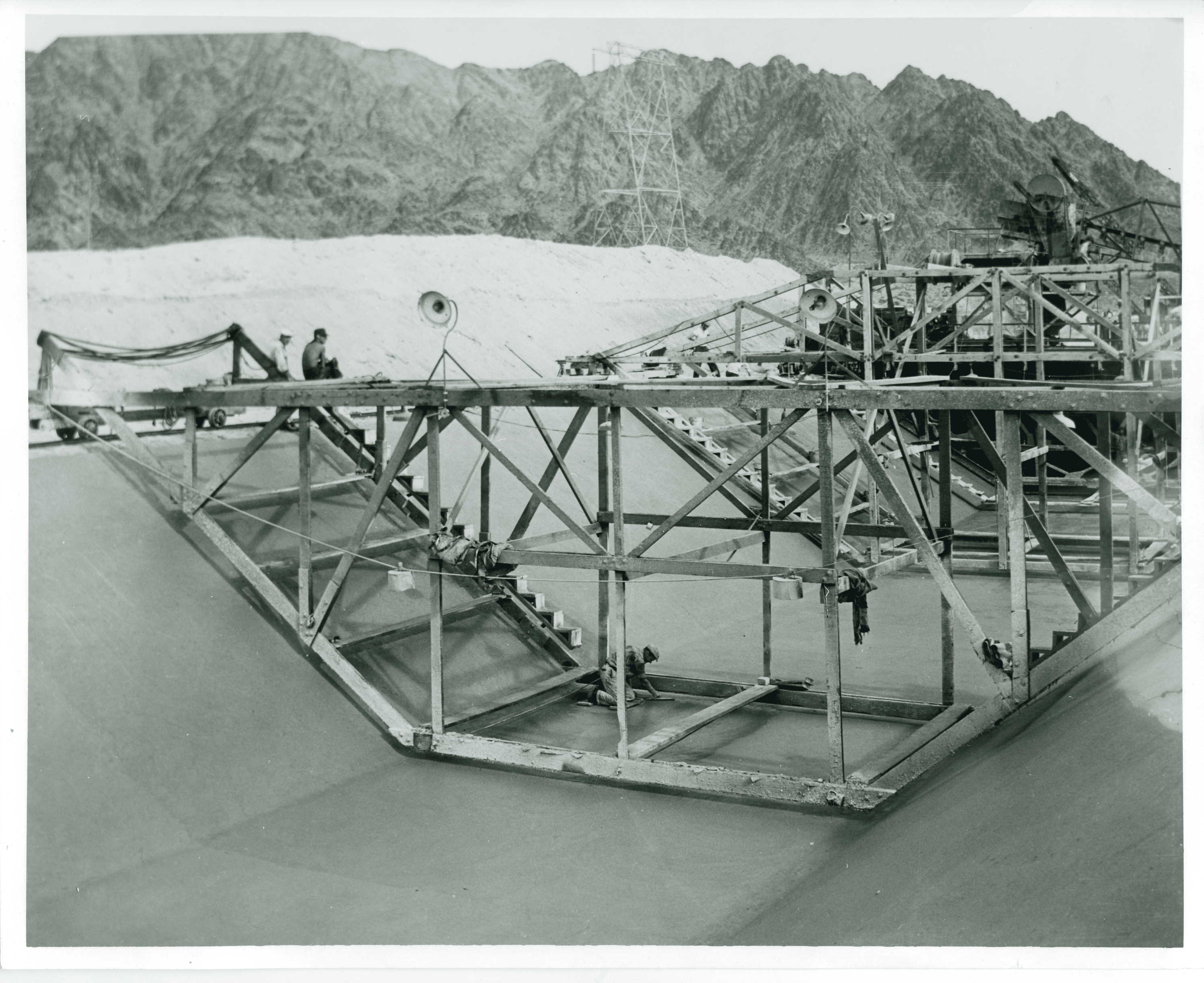
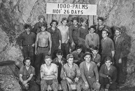
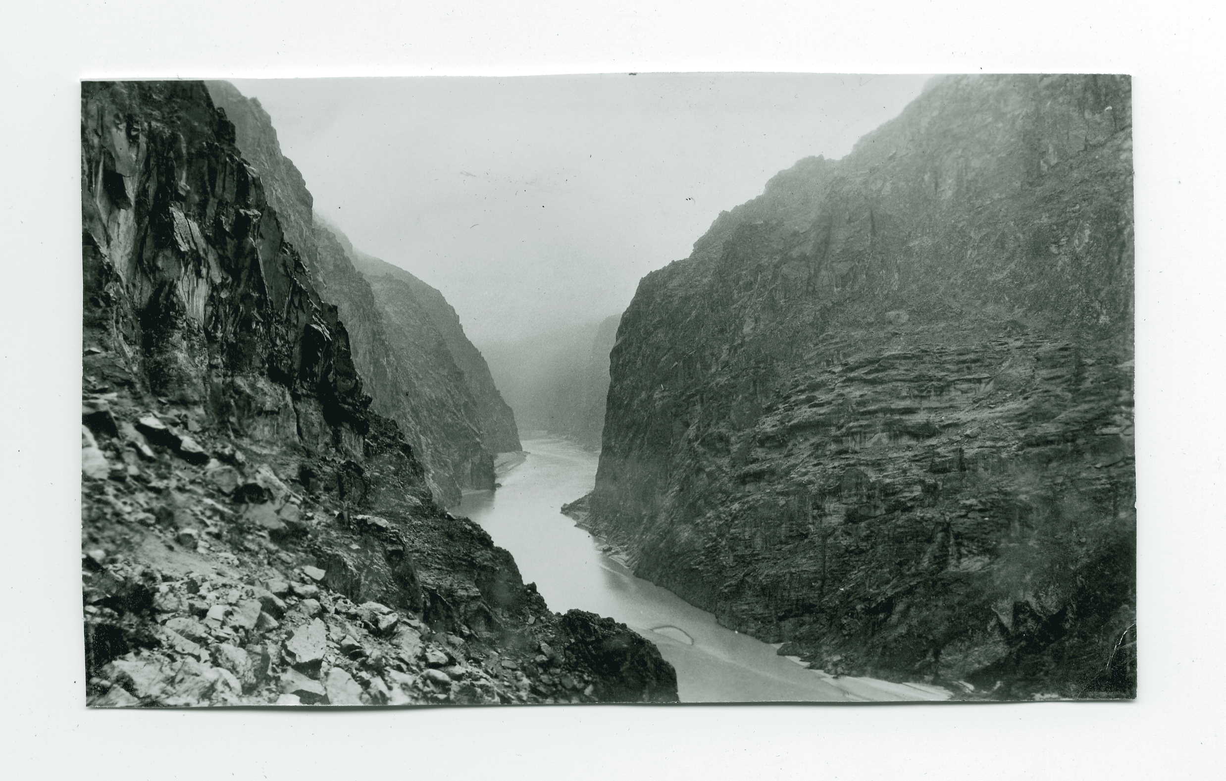
Before the Colorado River Aqueduct was built, the land it was to cross needed to be documented to determine its suitability for the project. This gallery contains rarely shared photographs taken by surveyors for the Colorado River Aqueduct, detailing the nature of the land they traveled, both flora and fauna, and artifacts that they encountered as they worked. The photographs from this collection were taken in the late 1920s and early 1930s. Aside from the fact that they were photos taken by surveyors, other information about these images has been lost to time. Their activities would be mirrored many times over as Metropolitan continued to expand the water delivery and treatment infrastructure – from construction of pumping and treatment plants to the excavation and construction of the Southland’s largest storage reservoir Diamond Valley Lake. Consideration of environment impacts and archeological finds played into decisions such as the creation of tens of thousands of set-aside land for reserves and habitat restoration, as well as the donation of artifacts to found the Western Science Center.


Other Collections
Explore our other galleries by clicking on any of the carousel images below, each linking to a unique collection: